Metro: Digital/GIS
Learn about the different technologies that go into tracking where the buses and trains are! What does it takes for all that data to reach your phone? See live vehicle locations on a digital map and learn how you can access that same data to build tools of your own!
Metro
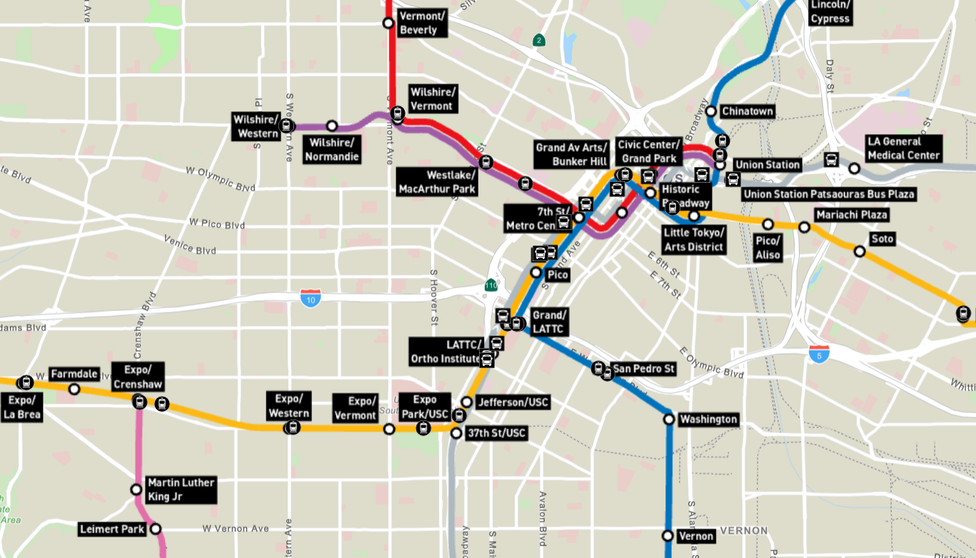
Metro is a comprehensive public transportation system that connects the county's diverse neighborhoods through buses, subways, and light rail lines, while also offering programs and initiatives aimed at serving the youth and empowering local communities. These efforts include fare discount programs, educational outreach, and community partnerships to enhance mobility and foster sustainable, equitable growth throughout the region.